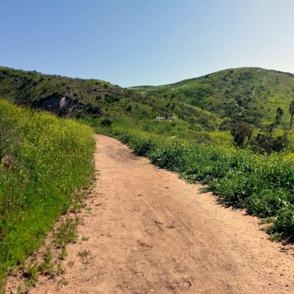
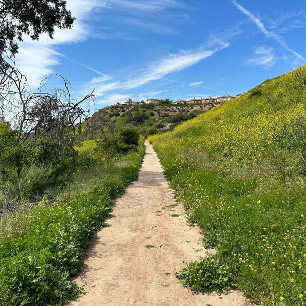
Santiago Oaks Regional Park is a secluded 1,269-acre park located along the Santiago Creek in Orange, California. Santiago Oaks Regional Park has a series of multi use trails which are open for equestrians, hikers, and mountain bikers to share. The park trails also provide access to the Anaheim Hills Trail System that runs throughout northern Orange County.
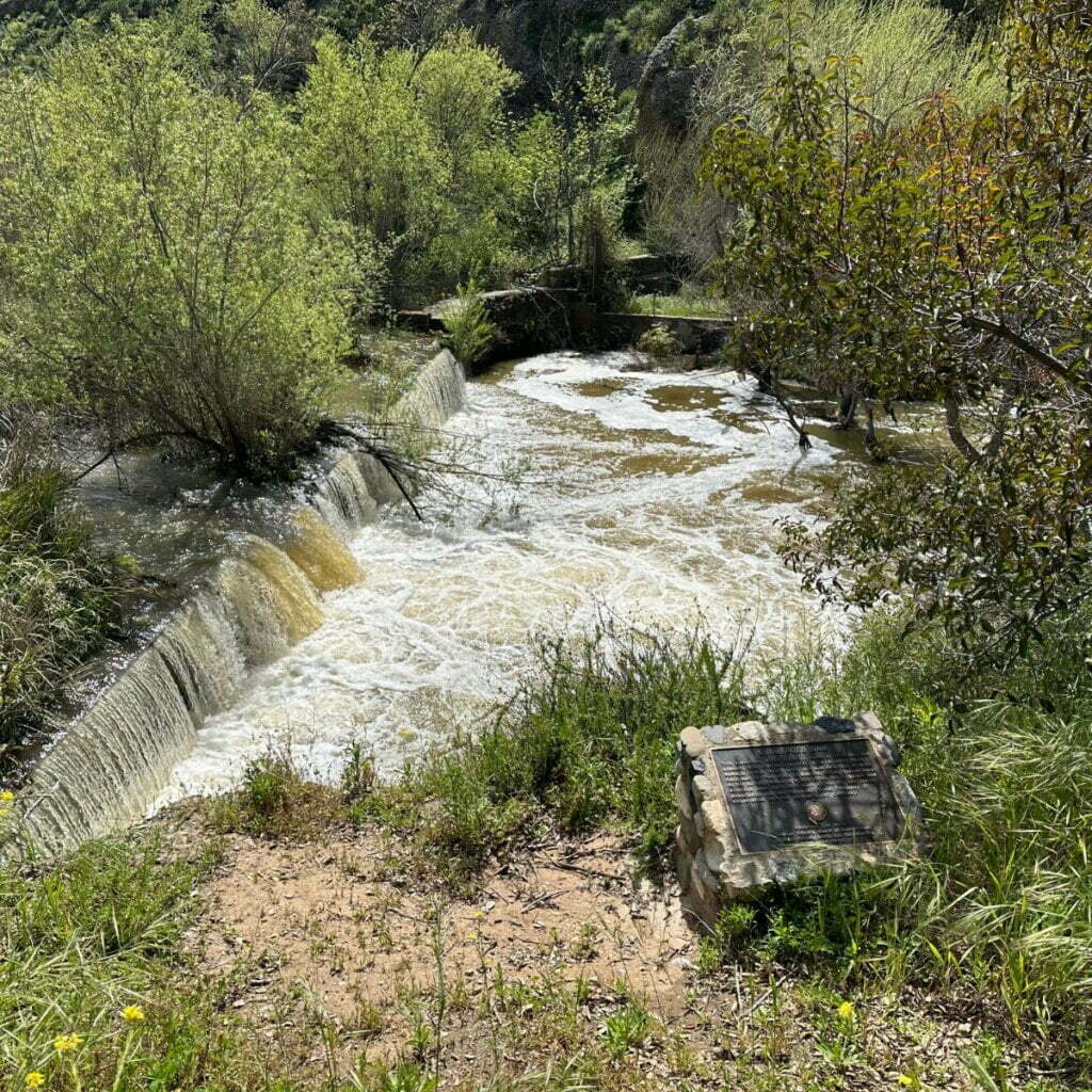
Santiago Oaks Regional Park’s features include a nature center with exhibits on various natural history topics, a playground structure with picnic tables, and restrooms. There is a historic dam as well as facilities available to rent for weddings and receptions.

The Dam that you see in Santiago Oaks was built in 1892 to replace an original dam that was destroyed by flooding, and a 9-acre grove of Valencia oranges was planted in 1937. Orange County Board of Supervisors purchased two parcels of land that make up Santiago Oaks in 1974 and 1976, and opened up limited public use in 1977. Over the years, additional land has been acquired, expanding the size of this beautiful park.
This is one of our very favorite regional parks in the OC Parks system. We’ve spent hours exploring the trails here. Thanks to the diversity of the trail system, we spent a lot of time on the easy trails when the kids were little, moving gradually on to the more difficult trails as they got older and more experienced.
This park also offers some seasonal variety, blooming beautifully with wildflowers every spring with the hillsides turning lovely shades of green.
Santiago Oaks Regional Park Details
Address: 2145 N. Windes Drive, Orange, CA 92869
Park Hours: Sun-Sat: 7:00AM to Sunset
Parking: $3 per vehicle entry Monday – Friday; $5 Saturday – Sunday
Website: https://ocparks.com/santiagooaks
Phone: 714-973-6620
Dogs: Permitted on-leash
What’s At Santiago Oaks Regional Park
Trails
There are miles of trails to choose from throughout the park. An easy trail is the Santiago Creek Trail. Combine it with the Bobcat Meadow Trail for an easy, just over a mile loop. A must-do kid friendly hike is the short Historic Dam Trail that leads to the Historic Dam. Once there you will be greeted with a small waterfall and fun stepping stones to cross the creek.

If you want more of a workout, take Santiago Creek Trail and connect to the moderately-rated Sage Ridge Trail for great views of the park. From here, you can connect to the more difficult trails in the park to extend your hike. Weir Canyon Trail promises great views although it can be hot with no shade. Take the trail up to Robbers Peak for an elevation gain of about 800 feet and a moderate difficulty rating.
More Trails To Try:
- Windes Nature Trail: .27 miles
- Pacifica Trail: .45 miles
- Wilderness Trail: .48 miles
- Rinker Grove Trail: .31 miles
See the Santiago Oaks Regional Park Trail Map for all park trails
Nature Center
The ranch house originally built by Norment Windes in 1938 was re-opened in 1981 as the park’s Nature Center. You can see exhibits on the natural and human history of the area, as well as wildlife displays. Nature walks and programs are available to the general public, as well as to schools and youth groups, with an emphasis on environmental education.

Playground
There is a small playground located within the park. It has a slide and structure to climb. The playground is located a short walk from the nature center and next to the restrooms.
All Amenities
- Amphitheater
- BBQs and picnic areas
- Bird watching
- Hiking, biking, and equestrian trails
- Historic Villa Park Dam
- Horseshoe pits
- Interpretive Programs & Nature Center
- Orange Grove
- Playgrounds
- Scenic Overlook
- Weddings & Special Events
More Regional Parks
Related Articles


