Orange County has a reputation for great beaches and thrilling amusement parks. Combine that with its designer shopping outlets and fine dining restaurants and you may be surprised to learn that this portion of Southern California also contains miles of wilderness to explore. It’s true! Just two hours south of Orange County is the expansive and delightful Cleveland National Forest. This southernmost U.S. National Forest of California is not one to miss.
You may be asking where to start? One popular day hike is a leg burning trek up to the top of Sitton Peak. One should note that this mountain is not the highest mountain in the world. Far from it. In fact, this peak, sitting at a mere 3,273 feet above sea level, is not even the highest mountain in the Santa Ana Mountains where it resides. Big beauties nearby such as Los Pinos Peak at 4,455 feet in elevation, Santiago Peak at 5,689 feet in elevation, and Trabuco Peak at 4,607 feet in elevation – hold those towering local heights.
Where Is Sitton Peak
Sitton Peak is located just outside of Lake Elsinore in the San Mateo Wilderness as part of the Southern portion of the Santa Ana Mountains. Most of this wilderness area is pretty remote and not very accessible. The nearest community being the semi-rural town of Fallbrook, and the sprawling Camp Pendleton Marine Base. A reason for it’s remoteness is that this area is heavily protected by the San Mateo watershed which in turn keeps this federal wilderness a better kept secret in Orange County.
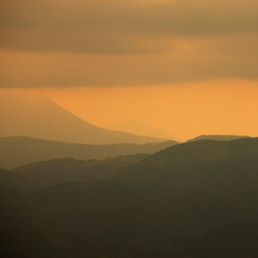
All in all Sitton Peak is not a big mountain in terms of mountain heights. But what Sitton Peak lacks in elevation, it certainly makes up for with gorgeous 360-degree views of the surrounding Cleveland National Forest and San Juan Canyon. On a crisp clear day one can even see the blue waves of the Pacific Ocean complete with Catalina Island from the summit.
Sitton Peak Hike
Distance: About 10 Miles Round Trip
Difficulty: Hard to Very Hard
Elevation Gain: About 2,000 feet
Now that I have told you all about the area Sitton Peak is nestled in, let me share a little about the hike to the top. The hike to the top of Sitton Peak via the Bear Canyon Trail is about ten miles round trip, start to finish. The trail is a tad over 2,000 feet in elevation gain. The Bear Canyon trailhead is located across Ortega Highway 74 from the local Candy Store Parking lot. Look for a kiosk not far from the start of the trail which contains a map as well as other important notices about the local wilderness and wildlife. The first part of the trail is a single track trail and a little bit of a climb as you begin your journey to the ridge containing Sitton Peak’s official summit.
The Bear Canyon trail is a diverse one. Along the journey you will get shade from a small collection of oak trees as well as broad-leaved evergreen shrubs known as chaparral. As you get closer to Sitton Peak on your hike, keep an eye out for the somewhat hidden trail marker on the right side of the trail. This marker can be easy to miss but is the final turnoff in order to get to the top.
After the turnoff the trail becomes quite steep, a bit overgrown and not very well maintained compared to the singletrack trail you have been following up to this point. The last quarter mile requires a little scrambling and bushwacking to reach the summit. I do recommend trekking poles to help with the scramble but you most certainly do not need any other special equipment. Another thing I highly recommend is wearing long pants to protect your legs from scratches and cuts.
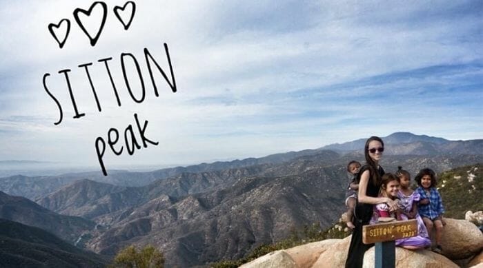
Once you reach the top, stop and enjoy the reward of your hard work. There is a lovely wood crafted sign for all your social media bragging photos. On a clear day you will want to take time to enjoy the massive views of the surrounding nature. After a snack or two just backtrack your way along the trail back to the trailhead and parking lot.
Things To Note
- Although day hikes do not require a permit, backpacking this somewhat remote area does. Visit the Trabuco District of Cleveland’s online office to get all the needed forms and directions on how to obtain a backpacking permit.
- You need a parking pass for the Cleveland National Forest. You can use the affordable National Parks Pass, which gets you into every national park, national monument, and national forest. Or you can also use a Southern California Adventure Pass. Lastly, another option is to buy a $5 day pass from the Candy Store.
- There is no water on the trail. Plan accordingly to prevent dehydration.
- The hike has little shade and in the summer can be quite hot. Fall through Spring generally is the best time to tackle this peak!
- There are a few junctions on the trail so make sure you have a map to follow. Alltrails is a great place to find trail guides as well as Gaia.
- Last but certainly not least, have fun! Opting outside and climbing mountains is all about the experience and less about the destination.
This little gem Sitton Peak is not too far from suburban Orange County and is definitely one to explore.
Happy Hiking Friends!