
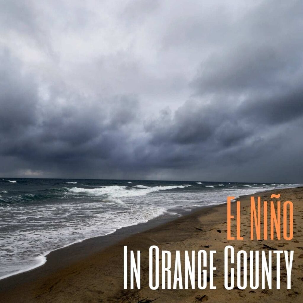
Here in Orange County, California, we’re famous for mild weather, sunny beaches and coastal lifestyle, but during El Niño years, our region can experience powerful storms, flooding, beach erosion, and structural damage.
From damaged piers to flooded streets and mudslides, El Niño events have impacted Orange County and the rest of Southern California several times.
Here’s everything you should know about El Niño in Orange County, including what causes it, major historic events, coastal damage, how to prepare, and how these storms continue to shape the area today.
2026–27 El Niño Update
El Niño conditions are currently present and strengthening. NOAA’s Climate Prediction Center says there is a greater than 90% chance of a very strong El Niño during fall and winter 2026–27. A strong El Niño can influence Southern California’s winter weather, but it does not guarantee heavy rainfall, flooding or damaging storms in Orange County. Residents should follow current National Weather Service forecasts and local emergency alerts as individual storms approach.
What Is El Niño?
El Niño is a recurring climate pattern characterized by unusually warm surface waters in the central and eastern equatorial Pacific Ocean along with changes in the atmosphere above it. Those ocean and atmospheric changes can influence weather patterns around the world. In Southern California, El Niño can tilt the odds toward wetter winter conditions, but rainfall varies considerably from one El Niño to another.
During El Niño years, Southern California may experience:
- Heavy or higher than average rainfall
- Stronger winter storms
- Flooding and mudslides
- Large surf and dangerous rip currents
- Coastal erosion and infrastructure damage
- Cooler and cloudier weather periods
Not every El Niño creates severe weather, but some of California’s most damaging storm seasons have occurred during strong El Niño cycles. We’ve also had past El Niño predictions that never amounted to anything, so even when the conditions are right, the actual event may not happen.
How El Niño Affects Orange County
In Orange County, El Niño can create a variety of weather-related hazards.
Heavy Rainfall & Flooding
Powerful Pacific storm systems can cause:
- Flooded roads and intersections
- Overflowing storm drains
- Urban runoff and localized flooding
- Flooding near creeks and low-lying areas
Coastal Damage & Beach Erosion
Large storm surf during El Niño years can cause:
- Beach erosion
- Damaged seawalls and coastal walkways
- Flooding near beachfront areas and damage to beachfront properties
- Pier and harbor damage
Mudslides & Debris Flows
Heavy rain, especially after wildfire seasons, can increase the risk of:
- Mudslides
- Hillside erosion
- Debris flows in canyon communities
Burn scar areas are especially vulnerable during these intense storms with heavy rainfall.
Historic El Niño Events Affecting Orange County
1997–1998 El Niño
The 1997–1998 El Niño was one of the strongest and most destructive El Niño events in modern California history.
Orange County experienced:
- Major flooding
- Mudslides and hillside erosion
- Severe beach erosion
- Massive storm surf and coastal flooding
- Damage to roads, parking lots, and oceanfront infrastructure
Damage to Orange County Piers
One of the biggest impacts involved the Aliso Beach Pier in Laguna Beach. After years of storm-related wear, the pier suffered catastrophic damage during the intense El Niño season and was eventually demolished after engineers determined repairs were impractical.
The historic Balboa Pier in Newport Beach also sustained major damage during the 1998 storms, including structural deterioration caused by powerful surf.
Several beaches throughout Orange County suffered dramatic sand loss, shoreline erosion, and damage to coastal access areas.
1982–1983 El Niño
The 1982–1983 El Niño was another powerful event that caused widespread destruction across Southern California.
Orange County saw severe coastal erosion, flooding and storm runoff, dangerous surf conditions, and major damage to piers and beaches.
Huntington Beach Pier Damage
The iconic Huntington Beach Pier in Huntington Beach was heavily damaged during the storms of the 1983 El Niño season.
Powerful waves ripped away sections of the pier, leading to extensive repairs and structural reinforcement efforts.
Seal Beach Pier Damage
The Seal Beach Pier in Seal Beach also experienced major destruction during the 1983 storms and later underwent reconstruction work.
Large waves and storm surges caused massive coastal impacts throughout Orange County beach communities.
2015–2016 El Niño
The 2015–2016 El Niño generated widespread concern throughout California due to predictions of potentially historic rainfall, but the overall damage was far less severe than the events of 1982–83 and 1997–98. Even so, emergency agencies and local cities increased preparedness efforts due to concerns about regional flooding and mudslides.
2026–27 El Niño Outlook for Orange County
NOAA’s Climate Prediction Center has an El Niño Advisory in effect and expects El Niño to strengthen through late 2026. Current forecasts indicate a greater than 90% chance of a very strong El Niño during fall and winter 2026–27. For Orange County, that makes winter storm preparedness especially relevant, but El Niño strength alone cannot predict how much rain will fall locally or whether a particular neighborhood will experience flooding, high surf or debris flows.
For current conditions, residents should rely on National Weather Service San Diego forecasts and warnings rather than assuming every storm during an El Niño winter will be severe.
Long-Term Effects of El Niño on Orange County
Major El Niño events have reshaped parts of Orange County’s coastline over time.
Long-term impacts include:
- Accelerated coastal erosion
- Repeated beach sand loss
- Damage to seawalls and piers
- Expensive coastal repair projects
- Increased flood-control improvements
These storms have influenced how Orange County approaches coastal engineering, flood management, emergency preparedness, and beach preservation efforts.
Areas Most Vulnerable During El Niño
Certain parts of Orange County are especially vulnerable during strong El Niño years:
- Coastal communities
- Beachfront parking and boardwalk areas
- Canyon and hillside neighborhoods
- Flood-prone intersections
- Areas near rivers, creeks, and flood channels
Beach cities often experience the greatest visible impacts due to heavy storm surf and erosion.
How Orange County Prepares for Major Storms
Here are some of the ways Orange County communities and agencies prepare for major storms and coastal hazards:
1. Massive Sand Berms in Seal Beach
Every winter, the city of Seal Beach builds a giant sand berm (essentially a temporary artificial dune) along the beach to protect oceanfront homes from storm surge, high tides, coastal flooding, and surf damage.
Sometimes you’ll even see people heading out to the berm with their sleds for some Orange County sand sledding fun.
Bulldozers move huge amounts of sand into a long, elevated barrier stretching along the vulnerable beachfront areas. The berm is rebuilt every season because winter waves and tides constantly reshape the coastline.
During major surf events and tropical storm remnants, emergency crews may reinforce the berm as needed.
2. Sand Nourishment Projects in San Clemente
Orange County also performs “beach nourishment” projects where massive amounts of imported sand are added to beaches. This helps protect the coastal rail corridor used by the Pacific Surfliner and Metrolink.
Recent projects by the Orange County Transportation Authority added thousands of cubic yards of sand to buffer waves and reduce erosion near the rail line.
Additional protections include:
- Catchment walls
- Bluff stabilization
- Riprap rock barriers
- Drainage improvements
This has become increasingly important as storms and coastal erosion threaten rail service in south Orange County.
3. Temporary Flood-Control Berms Along OC Beaches
Seal Beach isn’t the only city using sand barriers. During major storms, Huntington Beach and Sunset Beach have also constructed emergency sand berms to reduce seawater flooding into homes and streets.
These are sometimes called sacrificial dunes, emergency berms, or flood-control berms. Researchers have even studied Southern California’s artificial berm systems as a coastal flood-defense strategy.
4. Countywide Sandbag Distribution Programs
When major storms are predicted, Orange County cities activate emergency sandbag programs (see below for more sand bag distribution information).
Fire departments and public works agencies offer sandbags, sand piles, and flood protection guidance.
Communities that frequently activate storm prep measures are listed below
5. Hillside & Canyon Debris Basin Systems
In canyon communities and burn-scar areas, Orange County uses debris basins, retention channels, and flood control channels to capture mud, rocks, and debris before they can rush into neighborhoods during heavy storms.
These systems are especially important after wildfire seasons when hillsides lose vegetation.
Communities near Silverado Canyon, Modjeska Canyon, and Trabuco Canyon often have enhanced monitoring during El Niño years.
6. Coastal Bluff Reinforcement
South Orange County communities like Dana Point and San Clemente have put additional focus on stabilizing coastal bluffs threatened by storm erosion, heavy rainfall and rising surf.
Past storms in these areas have caused bluff collapses, trail closures, beach access loss and threatened the rail corridor.
7. Coastal Dune Restoration Projects
Some Orange County cities and environmental groups are now rebuilding natural dune systems as a long-term storm defense strategy.
In Seal Beach, restoration efforts are underway to create vegetated coastal dunes that absorb wave energy, reduce flooding, and protect infrastructure naturally. These “living shoreline” projects are becoming more popular as alternatives to concrete seawalls.
8. Advanced Flood-Control Infrastructure
Orange County maintains an extensive flood-control system that includes:
- Concrete flood channels
- Storm drains
- Retention basins
- Pump stations
- Automated weather monitoring systems
The county’s flood-control network was heavily expanded after destructive historic floods in the 20th century.
Orange County Sandbag Distribution Information
Orange County communities and agencies may offer free sandbags or sand during major storm events. Availability, limits and pickup procedures can change with weather conditions and demand, so check the current Orange County Fire Authority sandbag information or your city’s official website before heading out.
Orange County Fire Authority (OCFA) Sandbag Locations
The Orange County Fire Authority Sandbag Page maintains the current list of participating fire stations and identifies locations offering empty sandbags and locations where both sand and sandbags are available. Supplies and procedures can change during storms, so use the live OCFA list rather than relying on a fixed station list.
Many locations are self-service. Bring a shovel and gloves when directed by the agency or city, and check for residency requirements, quantity limits and current availability before leaving home.
Tips Before Picking Up Sandbags
Bring Supplies: Many locations are self-serve and require you to bring your own:
- Shovel
- Gloves
- Containers or tarp for transport
Don’t Wait Until the Last Minute: Sandbag locations can run out quickly, have long lines, and close early due to weather.
Watch for Storm Alerts: Cities usually activate sandbag programs:
- Before atmospheric river events
- During El Niño winters
- Ahead of tropical storm remnants
Helpful Orange County Storm Resources
- Orange County Fire Authority Sandbags Info
- AlertOC Emergency Alerts
- ReadyOC Emergency Preparedness Information
El Niño Safety Tips
Before Storm Season
- Clear drains and gutters
- Prepare emergency supplies
- Monitor local weather forecasts
- Review flood evacuation routes if necessary
During Heavy Storms
- Avoid flooded roads
- Stay away from unstable hillsides
- Watch for high surf and rip currents
- Follow local emergency alerts
After Storms
- Check for water damage and debris
- Avoid floodwater contamination
- Be cautious of mudslide areas and weakened roads
FAQs About El Niño in Orange County
Does El Niño affect Orange County?
Yes. El Niño can influence Southern California weather and may increase the chances of heavy rain, high surf, flooding, beach erosion and coastal damage, although impacts vary from one event to another.
What was the worst El Niño event in Orange County history?
The 1997–1998 El Niño is widely considered one of the most destructive in modern history.
Can El Niño damage piers in Orange County?
Yes. Major El Niño storms have damaged or destroyed portions of several Orange County piers over the years.
Does every El Niño cause major flooding?
No. Even a strong El Niño does not guarantee heavy rain or flooding in Orange County. Local impacts depend on the storm track and individual weather systems that reach Southern California.
Is Orange County in El Niño right now?
Yes. NOAA has an El Niño Advisory in effect for 2026 and expects the event to strengthen into fall and winter 2026–27.
Will El Niño make Orange County wetter in winter 2026–27?
El Niño can increase the odds of wetter conditions in Southern California, but it cannot predict Orange County rainfall by itself. Residents should follow seasonal outlooks and short-term National Weather Service forecasts as winter approaches.
Where can I get sandbags in Orange County?
Check the OCFA sandbag page and your city’s official website before a storm. Locations, supplies, limits and procedures can change depending on demand and weather conditions.