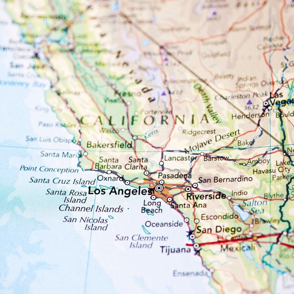
Find current California drought conditions and maps as provided by the U.S. Drought Monitor (USDM). USDM data and maps are updated each Thursday to show the location and intensity of droughts. This map shows drought conditions across California using a five-category system, from Abnormally Dry (D0) conditions to Exceptional Drought (D4). The USDM is a joint effort of the National Drought Mitigation Center, USDA, and NOAA.
The U.S. Drought Monitor is not a forecast. Instead, it’s a weekly assessment of drought conditions based on how much precipitation has fallen (or not fallen) over the previous seven days.

U.S. Drought Monitor (USDM) Maps by Area
View up-to-date drought conditions down to the city and county level, including temperature, and precipitation conditions, key drought indicators, outlooks, historical conditions, and water supply, agriculture, and public health maps.
California Drought Maps
- Drought Conditions for California
- Drought Conditions for Orange County
- Drought Conditions for Los Angeles County
- Drought Conditions for Riverside County
- Drought Conditions for San Diego County
- Drought Conditions for San Bernardino County
This information is provided by The National Integrated Drought Information System (NIDIS). NIDIS is a multi-agency partnership that coordinates drought monitoring, forecasting, planning, and information at national, state, and local levels across the country.
California Snow Pack Levels
Snowpack level is a critical measurement when it comes to California’s water resources. Accumulation at high elevations serves as a frozen reservoir that melts over the course of the year, filling lakes, reservoirs, underground aquifers and rivers. While above average snow depth is a good sign during the winter season, the most critical date is April 1. April 1 is important because that is when water managers hope to see the snowpack at its deepest.
Here are California’s current snowpack levels.
More California Drought Resources
- Drought.ca.gov current drought conditions
- National Weather Service U.S. Season Drought Outlook
- California Reservoir Conditions
- Current California Drought Water Restrictions
- Department of Water Resources: Includes current conditions on rivers, river guidance plots, water supply, statewide water conditions, and more.
U.S. Drought Monitor (USDM) Drought Categories
The USDM uses a five-category system that show experts’ assessments of conditions related to dryness and drought including observations of how much water is available in streams, lakes, and soils compared to usual for the same time of year.
- D0 – Abnormally Dry
- Soil is dry; irrigation delivery begins early
- Dryland crop germination is stunted
- Active fire season begins
- D1 – Moderate Drought
- Dryland pasture growth is stunted; producers give supplemental feed to cattle
- Landscaping and gardens need irrigation earlier; wildlife patterns begin to change
- Stock ponds and creeks are lower than usual
- D2 – Severe Drought
- Grazing land is inadequate
- Fire season is longer, with high burn intensity, dry fuels, and large fire spatial extent
- Trees are stressed; plants increase reproductive mechanisms; wildlife diseases increase
- D3 – Extreme Drought
- Livestock need expensive supplemental feed; cattle and horses are sold; little pasture remains; fruit trees bud early; producers begin irrigating in the winter
- Fire season lasts year-round; fires occur in typically wet parts of state; burn bans are implemented
- Water is inadequate for agriculture, wildlife, and urban needs; reservoirs are extremely low; hydropower is restricted
- D4 – Exceptional Drought
- Fields are left fallow; orchards are removed; vegetable yields are low; honey harvest is small
- Fire season is very costly; number of fires and area burned are extensive
- Fish rescue and relocation begins; pine beetle infestation occurs; forest mortality is high; wetlands dry up; survival of native plants and animals is low; fewer wildflowers bloom; wildlife death is widespread; algae blooms appear
Each week, drought experts consider how recent precipitation totals across the country compare to their long-term averages. They check variables including temperatures, soil moisture, water levels in streams and lakes, snow cover, and meltwater runoff. Experts also check whether areas are showing drought impacts such as water shortages and business interruptions. Based on dozens of indicators, experts make their best judgments of regional-scale drought conditions, and then check their assessments with experts in the field before publishing weekly drought maps. Associated statistics show what proportion of various geographic areas are in each category of dryness or drought, and how many people are affected.
Weather & Drought Terms
- Drought Early Warning (DEWS): A drought early warning system (DEWS) utilizes new and existing networks of federal, tribal, state, local, and academic partners to make climate and drought science accessible and useful for decision makers and stakeholders.
- Drought: Less rainfall than is expected over an extended period of time, usually several months or longer.
- Drought Plan: Actions taken by individual citizens, industry, government, and others before drought occurs in an effort to reduce or mitigate the impacts and conflicts that can arise from drought.
- Atmospheric River Storm: These form when winds over the Pacific draw a filament of moisture from the band of warm, moist air over the tropics and channel it toward the West Coast. When this ribbon of moisture hits the Sierra Nevada and other mountains, it is forced upward, cooling it and turning its water into immense quantities of rain and snow. These storms get their name from their long, narrow shape and the prodigious amount of water they carry.
- Explosive cyclogenesis (also referred to as a weather bomb, meteorological bomb, explosive development, bomb cyclone, or bombogenesis): A meteorological phenomenon that occurs when a low-pressure system undergoes rapid intensification, resulting in strong winds, heavy precipitation and large oceanic waves. It becomes a bomb when its central pressure decreases very quickly—by at least 24 millibars in 24 hours.
- Pineapple Express: A meteorological phenomenon characterized by a strong and persistent flow of atmospheric moisture and associated with heavy precipitation from the waters near Hawaii to any coastal area along the Pacific Ocean. This weather pattern gets its name from the fact that it transports a large amount of moisture from the tropical region around Hawaii, which is sometimes referred to as the “pineapple island,” to other parts of the Pacific coast.
- El Niño: When trade winds weaken, warm water is pushed back east, toward the west coast of the Americas. El Niño can cause more rain than usual and tend to occur every two to seven years, and typically last for about a year.
- La Niña: When trade winds are stronger than usual, warm water is pushed toward Asia. Off the west coast of the Americas, upwelling increases, bringing cold, nutrient-rich water to the surface. La Niña causes colder less stormier conditions in Southern California.
Related Articles
Orange County Wildfire Map | Santa Ana Winds |
Orange County Maps | Dams in Orange County |
Mosquitoes in Orange County | Shark Sightings & Attacks |
Monique McArthur is a mother of two, writer, and creator of delicious recipes. In her spare time she enjoys exploring all that Orange County has to offer, traveling, shopping, running with her dogs and spending time with family.